

01
galtuer
Trailrun Hohes Rad - Galtür
Category:
Trailrunning
Start:
Talstation Diasbahn Kappl
Destination:
Talstation Diasbahn Kappl
2:30 h
Duration
625
/ 634 hm
Difference in Altitude
2657 m
highest point
12.3 km
Length


Description
02
Description
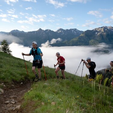
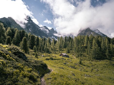
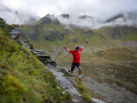
The mountain run to Hohes Rad offers a varied and moderately difficult route in the middle of the Silvretta mountain world. From the Bielerhöhe, the trail leads into the Bieltal valley and past the Radsee lake up to the Radsattel. The descent runs through the impressive Ochsental valley towards the Silvretta Reservoir before the tour leads back to the Bielerhöhe.
Arrival
Parking
Public transport
With the railway station in Landeck, the Paznaun is optimally connected to the Austrian train network. From Landeck-Zams station, only a short bus ride separates you from the Paznaun. Every half hour, line bus 260 runs from there through the valley. Bus stop: Bielerhöhe Silvrettasee
Buses in the Paznaun valley | Region Paznaun – Ischgl
Buses in the Paznaun valley | Region Paznaun – Ischgl


Map
03


similar tours
04
Mountain love
more Suggestions
similar tours

Take part and win!
Take part in our survey and with a little luck win a holiday in Austria!


