
Description
02
Intro
From See to the Zeinisjoch - a special hiking trail.
Description
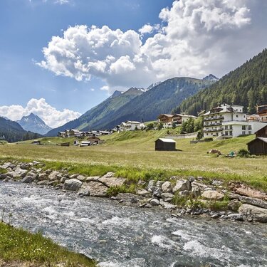
From See to the Vorarlberg border, you can hike the entire Paznaun region along the valley trail. The trail could not be more varied, alternating between gravelled forest paths, asphalt side roads and sections with fine forest soil. At times the trail leads directly along the Trisanna River at the bottom of the valley, at other times it leads along the sunny slopes of the valley with a view. The valley trail serves as a connection between the individual villages, but can also be tackled as an independent tour. In total, the route covers over 30 km and almost 1,000 metres in altitude.
Arrival
The autoroute (A12 (westbound) or A14 (eastbound)) leads you to the Arlbergschnellstraße (S 16). At the exit for Pians, turn onto the Paznauntalstraße (B 188) and follow its course into the Paznaun.
Parking
Parking area of the Bergbahnen See
Public transport
With the railway station in Landeck, the Paznaun is optimally connected to the Austrian train network. From Landeck-Zams station, only a short bus ride separates you from the Paznaun. Every half hour, line bus 260 runs from there through the valley. Bus stop: See Dorf/Bergbahn


